New Jersey Commercial Real Estate for Lease and Sale
-
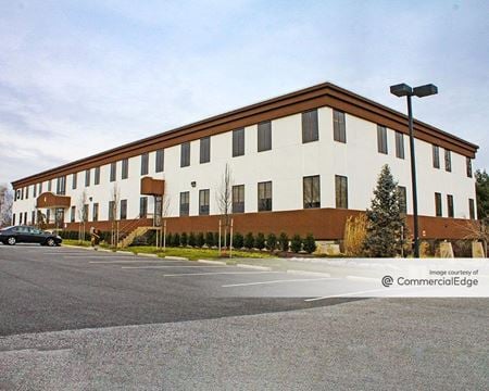 771 Cuthbert Blvd, Golden Triangle, Cherry Hill, NJProperty
- Office
- 29,050 SF
Availability- 2 Spaces
- 4,900 SF
Year Built- 1980
For Lease- $20.00/SF/YR
-
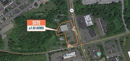
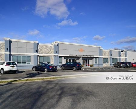 7 Capitol Drive, Moonachie, NJProperty
- Industrial
- 88,365 SF
Availability- 1 Space
- 87,500 SF
Year Built- 1969
For Lease Contact for pricing -
-
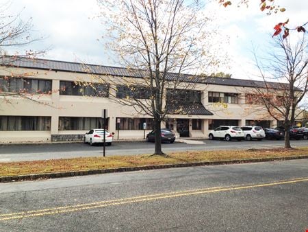 1500 Allaire Avenue, Wanamassa, Ocean Township, NJProperty
- Office
- 18,744 SF
Availability- 1 Space
- 2,318 SF
Year Built- 1988
For Lease- $17.00/SF/YR
-

What type of listing property are you looking for?
-
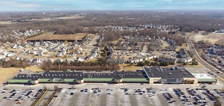 800-890 Delsea Drive, Glassboro, NJ
 -
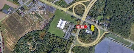 245 Princeton Hightstown Road, East Windsor, Hightstown, NJProperty
- VacantLand
For Sale- $245,000
-
57 Westfield Ave., Elmora, Elizabeth, NJProperty
- Industrial
- 13,870 SF
For Sale- $1,900,000
-
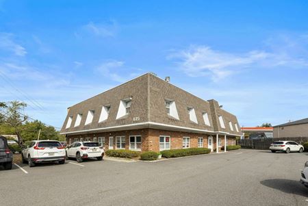 615 Franklin Turnpike, Ridgewood, NJProperty
- Office
- 10,788 SF
Availability- 1 Space
- 5,545 SF
For Lease- $20.00/SF/YR
-
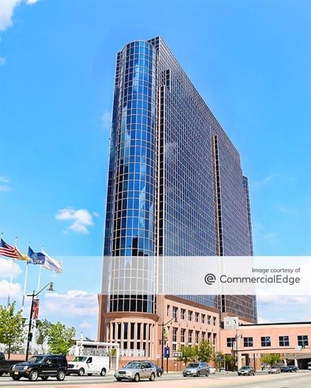 1037 Raymond Blvd, Downtown Newark, Newark, NJProperty
- Office
- 418,889 SF
Availability- 1 Space
- 11,030 SF
Year Built- 1989
For Lease Contact for pricing -
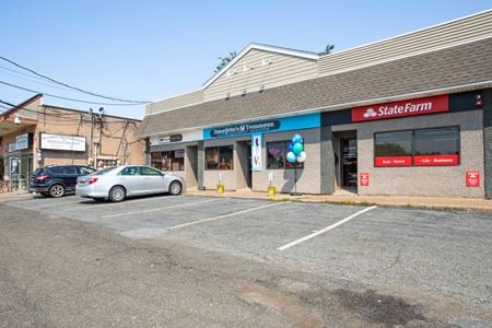 6-14 Elm St, Oakland, NJProperty
- Retail
- 2,500 SF
Availability- 1 Space
- 700 SF
For Lease- $34.29/SF/YR
-
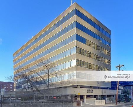 2125 Center Avenue, Fort Lee, NJProperty
- Office
- 74,537 SF
Availability- 3 Spaces
- 2,801 SF
Year Built- 1973
For Lease- $1,521.00 - $3,628.00/MO
-
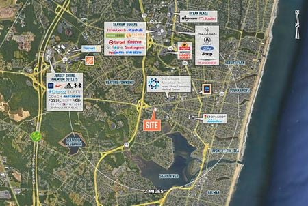 300 W Sylvania Ave, Neptune City, NJ
 -
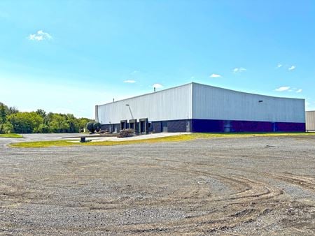 1 Hawk Ct, Swedesboro, NJProperty
- Industrial
- 25,576 SF
Availability- 1 Space
- 25,576 SF
Year Built- 1994
For Lease Contact for pricing -
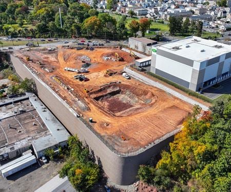 500 Belleville Turnpike, North Arlington, NJ
 -
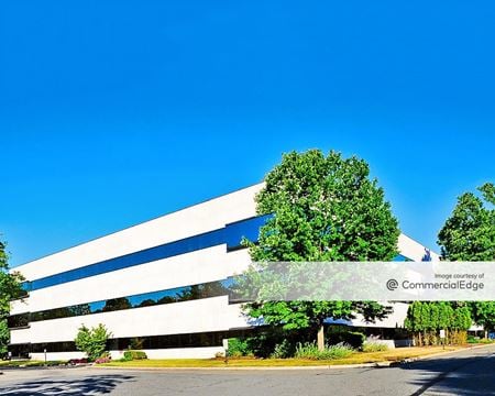 75 Livingston Avenue, Roseland, NJProperty
- Office
- 94,221 SF
Availability- 1 Space
- 6,153 SF
Year Built- 1985
For Lease- $25.00/SF/YR
-
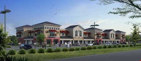 Route 130 & Meadowbrook Road, Robbinsville, NJProperty
- Land
- 40,000 SF
For Sale- $4,150,000
-
Carlisle Place & Route 347, Leesburg, Maurice Township, NJProperty
- Land
For Sale- $299,000
-
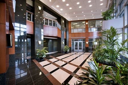 902 Carnegie Center, Princeton, NJProperty
- Office
- 135,399 SF
Availability- 2 Spaces
- 14,193 SF
Year Built- 2007
For Lease- $34.00/SF/YR
-
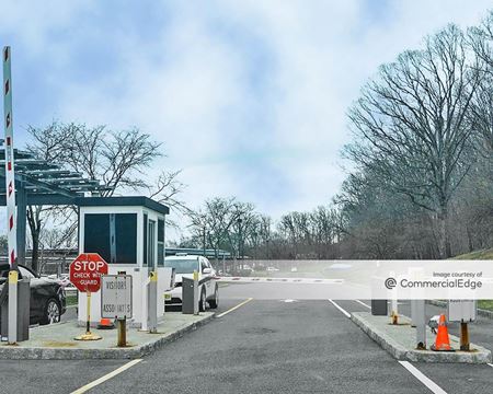 80 Livingston Avenue, Roseland, NJProperty
- Office
- 362,500 SF
Availability- 4 Spaces
- 362,500 SF
Year Built- 1991
For Lease Contact for pricing -
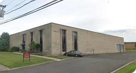 20 Capitol Drive, Moonachie, NJ
 -
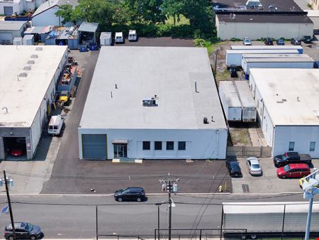 868 Elston Street, Rahway, NJProperty
- Industrial
- 11,347 SF
Availability- 1 Space
- 11,347 SF
Year Built- 1970
For Lease Contact for pricing -
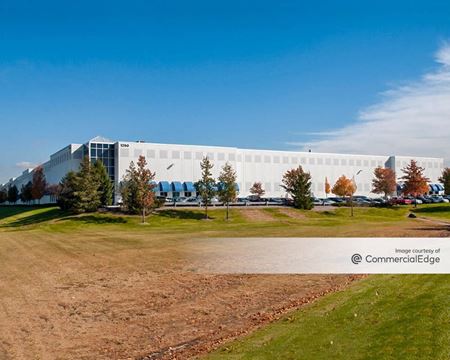 1250 South River Road, Cranbury, NJProperty
- Industrial
- 223,000 SF
Availability- 1 Space
- 80,000 SF
Year Built- 2002
For Lease- $15.95/SF/YR
-
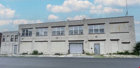 50-60 Dickerson Street, University Heights, Newark, NJProperty
- Industrial
- 7,000 SF
Availability- 1 Space
- 7,000 SF
For Lease- $7,995.00/MO
-
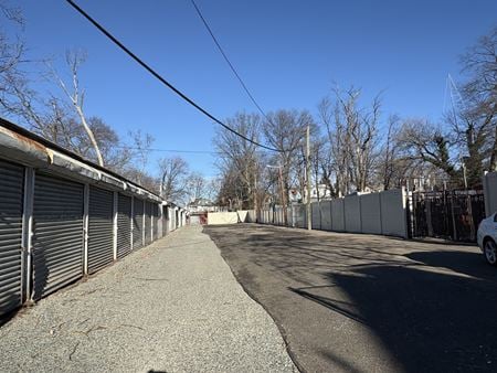 197 Park Court, East Orange, NJProperty
- Industrial
- 1,500 SF
Year Built- 1910
For Sale- $3,100,000
-
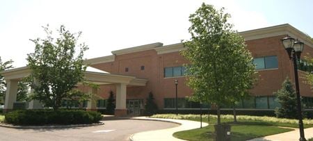 312 Applegarth Road, Monroe, Monroe Township, NJProperty
- Office
- 63,406 SF
Availability- 4 Spaces
- 14,000 SF
Year Built- 2008
For Lease- $27.00 - $28.00/SF/YR
-
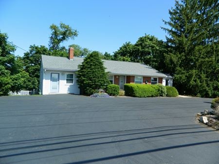 44 Pittstown Road aka Route 513, Clinton, NJProperty
- Office
- 1,560 SF
Year Built- 1959
For Sale- $599,000
-
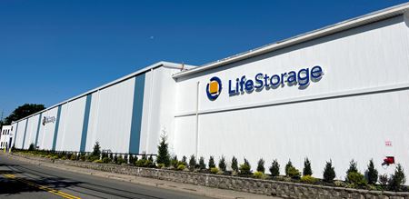 300 Myrtle Avenue, Boonton, NJProperty
- Other
- 100,000 SF
For Sale- Please call for pricing
-
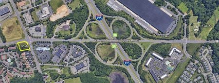 1425 Yardville Hamilton Square Road, Hamilton, NJProperty
- Land
- 45,738 SF
For Sale- $865,000
-
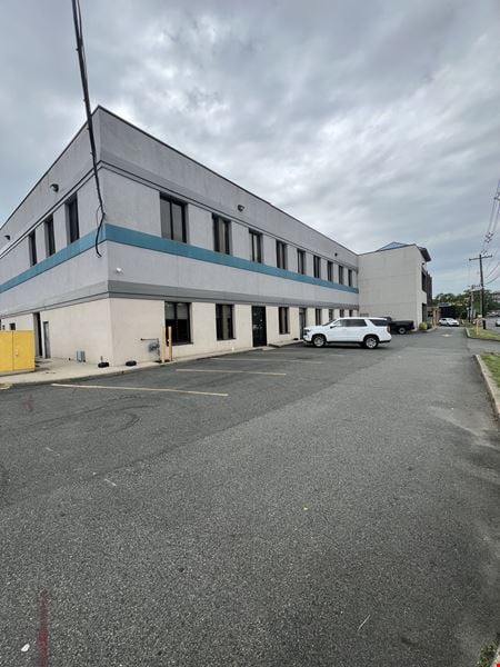 255 New Jersey 3, Bigleys - Three Ditches, Secaucus, NJProperty
- Office
- 30,000 SF
For Sale- Subject To Offer
-
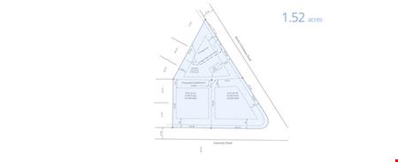 403 Berlin - Cross Keys Rd, Sicklerville, Gloucester Township, NJProperty
- Other
For Sale- $1,200,000
-
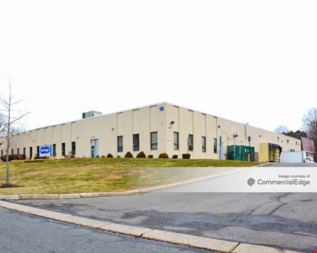 16 Elkins Road, East Brunswick, NJProperty
- Industrial
- 98,445 SF
Availability- 1 Space
- 42,052 SF
Year Built- 1970
For Lease Contact for pricing -
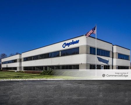 3500 Quakerbridge Road, Hamilton, Mercerville, NJProperty
- Office
- 55,900 SF
Availability- 2 Spaces
- 7,503 SF
Year Built- 2001
For Lease Contact for pricing -
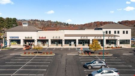 5 Club House Drive, Washington, NJ
 -
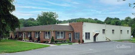 100 Melrose Ave, Ashland, Cherry Hill Township, NJ
 -
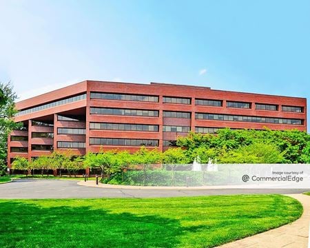 3 University Plaza, Hackensack, NJProperty
- Office
- 210,500 SF
Availability- 2 Spaces
- 41,014 SF
Year Built- 1985
For Lease Contact for pricing -
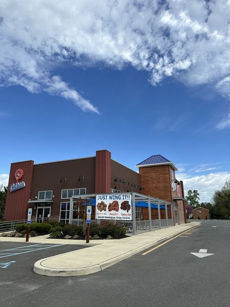 1643 Route 38, Mount Holly, Mt Holly, NJ
 -
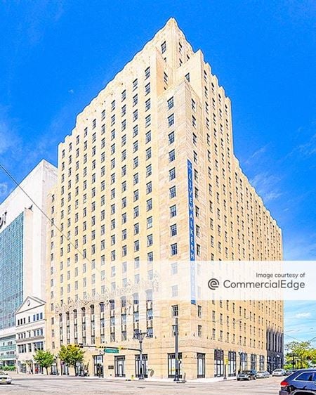 540 Broad Street, Downtown Newark, Newark, NJProperty
- Office
- 436,000 SF
Availability- 2 Spaces
- 7,233 SF
Year Built- 1929
For Lease Contact for pricing -
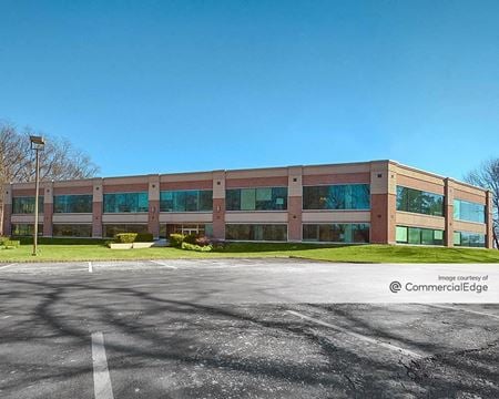 49 Bloomfield Avenue, Mountain Lakes, NJProperty
- Office
- 66,003 SF
Availability- 2 Spaces
- 54,437 SF
Year Built- 1980
For Lease Contact for pricing -
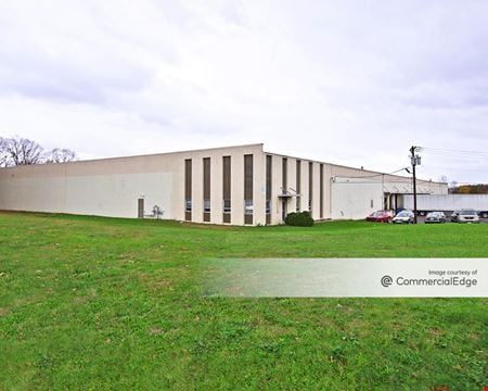 60 Clyde Road, Clyde, Somerset, NJProperty
- Industrial
- 100,800 SF
Availability- 1 Space
- 100,800 SF
Year Built- 1970
For Lease Contact for pricing -
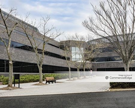 331 Newman Springs Road, Red Hill, Red Bank, NJProperty
- Office
- 214,518 SF
Availability- 2 Spaces
- 106,673 SF
Year Built- 1984
For Lease Contact for pricing -
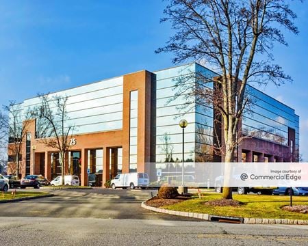 25 Independence Boulevard, Warren, Warren Township, NJProperty
- Office
- 106,000 SF
Availability- 6 Spaces
- 37,359 SF
Year Built- 1989
For Lease Contact for pricing -
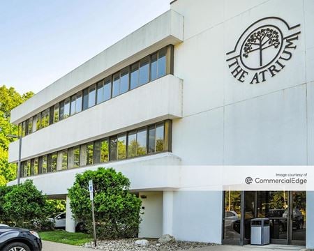 133 Franklin Corner Road, Lawrence Township, NJProperty
- Office
- 33,000 SF
Availability- 2 Spaces
- 7,050 SF
Year Built- 1984
For Lease Contact for pricing -
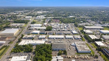 13 Jules Ln, New Brunswick, NJProperty
- Industrial
- 12,075 SF
Availability- 1 Space
- 6,037 SF
Year Built- 1980
For Lease Contact for pricing -
_NJ,%20Bridgewater_USA_CoworkingArea.jpg?width=450) 1200 Route 22 East Suite 2000, Bridgewater, NJ
1200 Route 22 East Suite 2000, Bridgewater, NJBridgewater
HQServices- Virtual Office
- Open Workspace
- Private Office
- Dedicated Desk
Amenities -
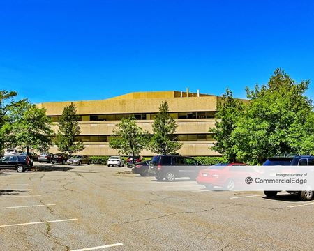 300 Executive Drive, West Orange, NJProperty
- Office
- 128,639 SF
Availability- 3 Spaces
- 16,365 SF
Year Built- 1984
For Lease Contact for pricing -
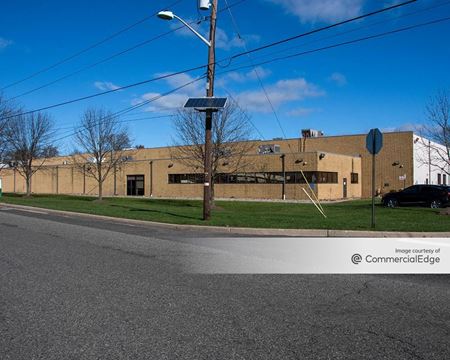 111 Coolidge Street, South Plainfield, NJProperty
- Industrial
- 131,346 SF
Availability- 2 Spaces
- 57,368 SF
Year Built- 1975
For Lease Contact for pricing -
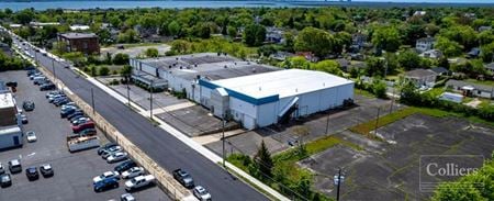 201 W Decatur Ave, Pleasantville, NJ
 -
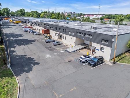 1001 Roosevelt Avenue, Carteret, NJProperty
- Industrial
- 93,241 SF
Availability- 3 Spaces
- 7,110 SF
Year Built- 1960
For Lease Contact for pricing -
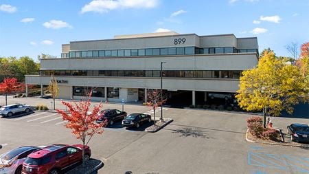 899 Mountain Avenue, Springfield, NJ
 -
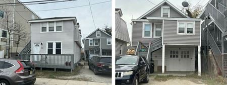 211-213 Sumner Avenue, Seaside Heights, NJProperty
- Multi-Family
- 2,220 SF
For Sale- Please Call for Sale Price
-
-
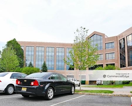 100 Campus Drive, Florham Park, NJProperty
- Office
- 370,681 SF
Availability- 1 Space
- 13,807 SF
Year Built- 1989
For Lease Contact for pricing
