Kentwood, MI Commercial Real Estate for Lease and Sale
Explore 18 listings of Kentwood commercial real estate to find the best space for your business.
-
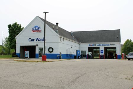 5121-5125 Broadmoor Ave. SE, Kentwood, Grand Rapids, MIProperty
- Retail
- 5,750 SF
Year Built- 2001
For Sale- $1,600,000
-
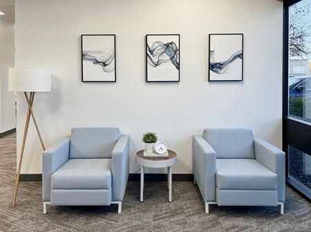 4595 Broadmoor Avenue Southeast #115, Grand Rapids, MIServices
- Virtual Office
- Open Workspace
- Private Office
- Dedicated Desk
Amenities -
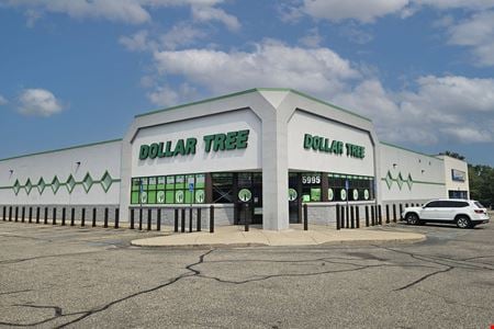 5995 Kalamazoo Ave SE, Kentwood, MIProperty
- Retail
- 17,787 SF
Year Built- 1998
For Sale- $3,950,000
-
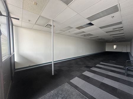 5444-5446 Division Avenue South, Kentwood, Grand Rapids, MIProperty
- Office
- 1,900 SF
Availability- 2 Spaces
- 3,900 SF
For Lease- $8.00 - $10.00/SF/YR
-
 3919 North Greenbrooke Drive Southeast, Kentwood, Grand Rapids, MIProperty
- Industrial
- 15,368 SF
Year Built- 1992
For Sale- $2,050,000
-
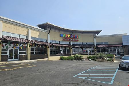 3094 28th St SE, Kentwood, MIProperty
- Retail
- 19,652 SF
Year Built- 2006
For Sale- $3,990,000
-
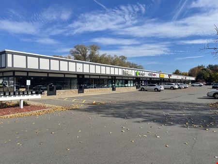 5370-5396 Division Ave. S, Kentwood, MIProperty
- Retail
- 19,600 SF
Availability- 3 Spaces
- 6,720 SF
Year Built- 1995
For Lease- $15.00 - $18.50/SF/YR
-
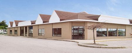 5500 Division Ave S, Kentwood, MIProperty
- Office
- 16,992 SF
Year Built- 1985
For Sale- $799,000
-
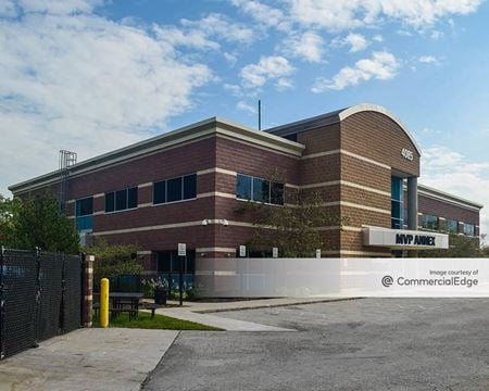 4085 Burton Street Southeast 2nd Floor, Grand Rapids, MI
4085 Burton Street Southeast
Mvp Sports ClubsServices- Meeting Room
- Private Office
Amenities -
 1486 44th Street Southeast, Kentwood, Grand Rapids, MIProperty
- Office
- 5,880 SF
Availability- 1 Space
- 1,430 SF
For Lease- $12.00/SF/YR
-
 3350 Broadmoor Avenue SE, Kentwood, Grand Rapids, MIProperty
- Office
- 15,317 SF
Availability- 1 Space
- 15,317 SF
For Lease- $13.00/SF/YR
-
 5270 Eastern Avenue Southeast, Kentwood, Grand Rapids, MIProperty
- Retail
- 71,255 SF
Year Built- 1980
For Sale- $175,000
-
 4403 Donkers Ct SE, Kentwood, MIProperty
- Industrial
- 15,259 SF
For Sale- $1,500,000
-
 4646 28th St. SE, Kentwood, MI
 -
 4300 36th St SE, Kentwood, Grand Rapids, MIProperty
- Industrial
- 618,805 SF
Availability- 2 Spaces
- 114,480 SF
For Lease- $6.00 - $6.40/SF/YR
-
 5270 Eastern Ave SE, Kentwood, MIProperty
- Retail
- 71,255 SF
Availability- 3 Spaces
- 10,119 SF
Year Built- 1980
For Lease- $9.00 - $12.00/SF/YR
-
 4652 Danvers Drive Southeast, Kentwood, MIProperty
- Industrial
- 9,973 SF
Availability- 1 Space
- 9,973 SF
Year Built- 1984
For Lease- $6.00/SF/YR
-
 3940 29th St SE, Kentwood, Grand Rapids, MIProperty
- Retail
Year Built- 1974
For Sale- $435,000