Livonia, MI Commercial Real Estate for Lease and Sale
Explore 141 listings of Livonia commercial real estate to find the best space for your business.
-
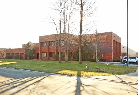 32235 Industrial Rd, Devonaire, Livonia, MIProperty
- Industrial
- 42,522 SF
Year Built- 1995
For Sale- $4,875,000
-
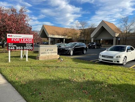 15130-15146 Levan Road, Golf View Meadows, Livonia, MI
 -
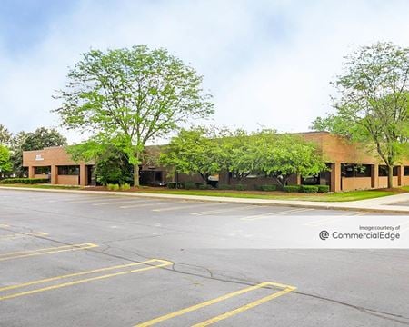 36121 Schoolcraft Road, Livonia South, Livonia, MIProperty
- Office
- 85,985 SF
Availability- 8 Spaces
- 62,892 SF
Year Built- 1986
For Lease- $16.95 - $22.50/SF/YR
-
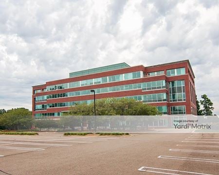 19500 Victor Pkwy, Livonia Hill - Caliburn, Livonia, MIProperty
- Office
- 111,347 SF
Availability- 4 Spaces
- 11,787 SF
Year Built- 1991
For Lease Contact for pricing -

What type of listing property are you looking for?
-
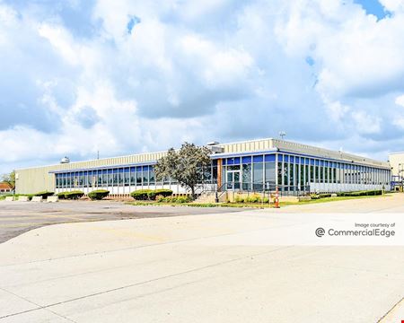 12001 Farmington Rd, Livonia South, Livonia, MIProperty
- Industrial
- 283,110 SF
Availability- 1 Space
- 283,110 SF
Year Built- 1960
For Lease- $7.45/SF/YR
-
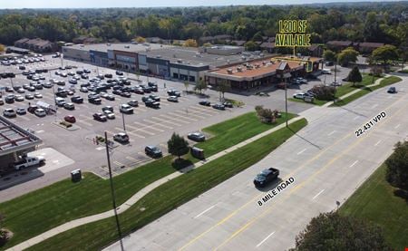 33523 8 Mile Road, Windridge - Francavilla, Livonia, MI
 -
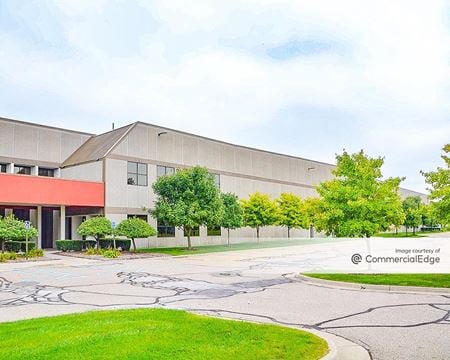 28301 Schoolcraft Road, Clements Circle, Livonia, MIProperty
- Industrial
- 763,000 SF
Availability- 1 Space
- 4,500 SF
Year Built- 2001
For Lease- $10.00/SF/YR
-
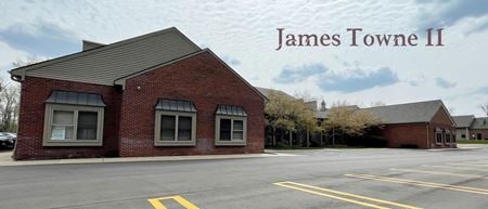 37601-37649 Pembroke, Livonia Hill - Caliburn, Livonia, MIProperty
- Office
- 20,000 SF
Availability- 1 Space
- 1,200 SF
Year Built- 1998
For Lease- $17.50/SF/YR
-
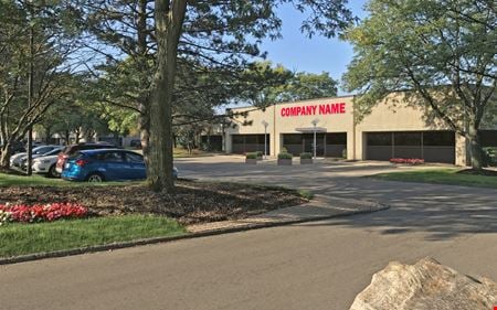 13955 - 14155 Farmington Road, Downtown Livonia, Livonia, MIProperty
- Industrial
- 123,688 SF
Availability- 6 Spaces
- 23,248 SF
Year Built- 1979
For Lease- $13.95/SF/YR
-
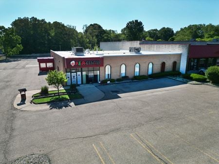 16000 Middlebelt Rd, Lyndon Manor - Compton, Livonia, MIProperty
- Retail
- 7,200 SF
Availability- 1 Space
- 7,200 SF
Year Built- 1975
For Lease- $12.00/SF/YR
-
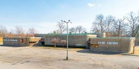 35555 Plymouth Rd, Old Rosedale Gardens, Livonia, MI
 -
 16013 Middlebelt Road, Lyndon Manor - Compton, Livonia, MIProperty
- Office
- 5,350 SF
Availability- 1 Space
- 5,350 SF
Year Built- 1936
For Lease- $18.50/SF/YR
-
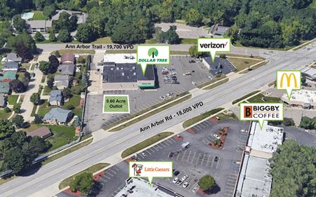 38000 Ann Arbor Rd, Hunters, Livonia, MIProperty
- VacantLand
- 5,699 SF
Availability- 1 Space
- 3,000 SF
Year Built- 1979
For Lease Contact for pricing -
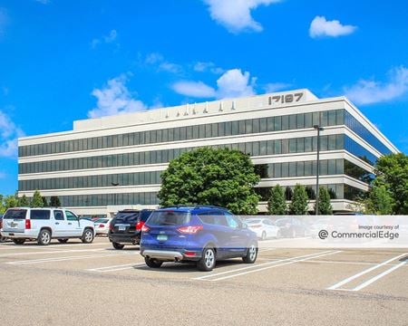 17197 North Laurel Park Drive, Livonia Hill - Caliburn, Livonia, MIProperty
- Office
- 215,016 SF
Availability- 27 Spaces
- 117,653 SF
Year Built- 1989
For Lease- $16.95 - $18.95/SF/YR
-
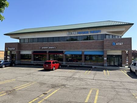 37655-37699 Six Mile Road, Quakertown - Castle Garden, Livonia, MIProperty
- Office
- 20,984 SF
Availability- 1 Space
- 1,445 SF
Year Built- 1999
For Lease- $18.00/SF/YR
-
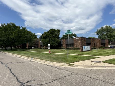 35200 Schoolcraft Road, Golf View Meadows, Livonia, MIProperty
- Office
- 17,872 SF
Availability- 1 Space
- 5,722 SF
Year Built- 1986
For Lease- $12.00 - $16.00/SF/YR
-
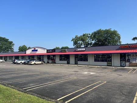 28400-28422 5 Mile Rd, Lyndon Manor - Compton, Livonia, MI
 -
 16013 Middlebelt Road, Lyndon Manor - Compton, Livonia, MIProperty
- Office
- 5,350 SF
Year Built- 1936
For Sale- $1,050,000
-
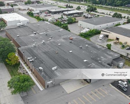 34000 Autry Street, Livonia South, Livonia, MIProperty
- Industrial
- 74,260 SF
Availability- 1 Space
- 75,492 SF
Year Built- 1969
For Lease- $6.25/SF/YR
-
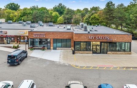 30935 5 Mile Road, Lyndon Manor - Compton, Livonia, MIProperty
- Retail
- 137,205 SF
Availability- 1 Space
- 23,800 SF
Year Built- 1987
For Lease Contact for pricing -
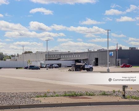 31774-31778 Enterprise Dr, Devonaire, Livonia, MIProperty
- Industrial
- 183,959 SF
Availability- 1 Space
- 109,968 SF
Year Built- 1980
For Lease- $6.95/SF/YR
-
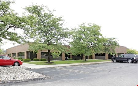 33025-33145 Schoolcraft Rd, Devonaire, Livonia, MIProperty
- Office
- 75,000 SF
Availability- 1 Space
- 4,578 SF
Year Built- 1983
For Lease- $15.95/SF/YR
-
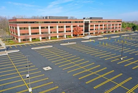 20555 Victor Parkway, Livonia Hill - Caliburn, Livonia, MIProperty
- Office
- 197,000 SF
Year Built- 1999
For Sale- $28,000,000
-
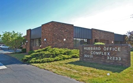 32231 - 32233 Schoolcraft Rd, Devonaire, Livonia, MIProperty
- Office
- 26,142 SF
Availability- 2 Spaces
- 2,288 SF
Year Built- 1982
For Lease- $12.95/SF/YR
-
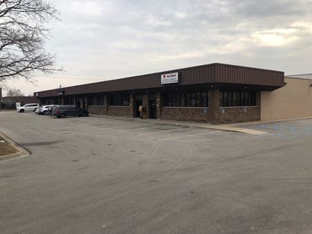 37453-37463 Schoolcraft, Quakertown - Castle Garden, Livonia, MIProperty
- Office
- 12,180 SF
Availability- 1 Space
- 2,000 SF
For Lease- $10.00/SF/YR
-
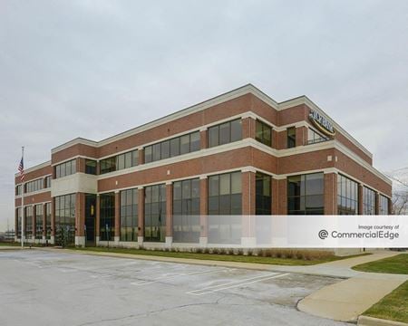 17440 College Pkwy, Livonia Hill - Caliburn, Livonia, MIProperty
- Office
- 119,742 SF
Availability- 6 Spaces
- 105,018 SF
Year Built- 2007
For Lease- $13.95 - $17.50/SF/YR
-
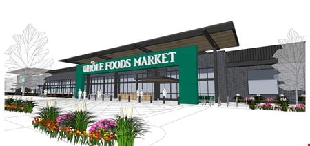 NEC 6 Mile & Haggerty Roads, Quakertown - Castle Garden, Livonia, MI
 -
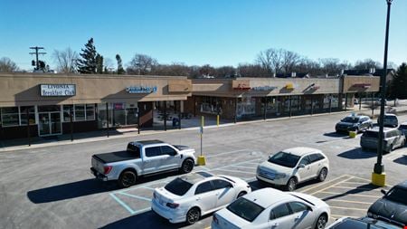 17176 Farmington Rd, Brookside - Burton Hollow, Livonia, MI
 -
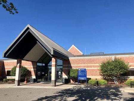 19900 Haggerty Road, Livonia Hill - Caliburn, Livonia, MI
 -
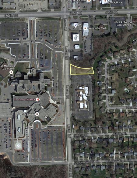
-
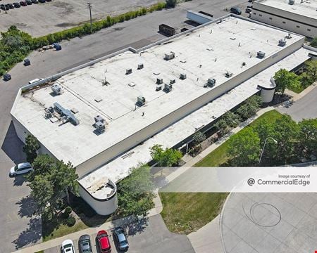 12256 Hubbard Street, Devonaire, Livonia, MIProperty
- Industrial
- 82,538 SF
Availability- 1 Space
- 5,140 SF
Year Built- 1980
For Lease- $6.25 - $7.25/SF/YR
-
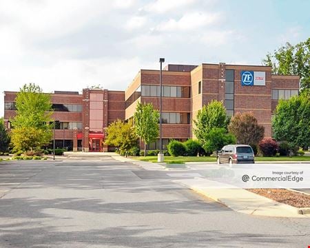 12001 Tech Center Drive, Devonaire, Livonia, MIProperty
- Office
- 86,500 SF
Availability- 1 Space
- 88,000 SF
Year Built- 2004
For Lease Contact for pricing -
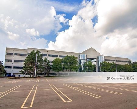 38701 7 Mile Road, Livonia Hill - Caliburn, Livonia, MIProperty
- Office
- 133,700 SF
Availability- 3 Spaces
- 14,131 SF
Year Built- 1990
For Lease- $19.95/SF/YR
-
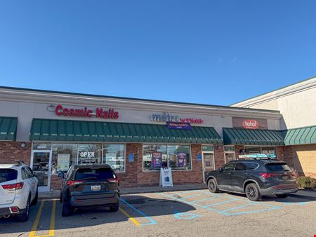 15371 Merriman Road, Downtown Livonia, Livonia, MIProperty
- Retail
- 23,312 SF
Availability- 1 Space
- 1,370 SF
For Lease- $17.00/SF/YR
-
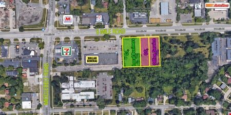 29005, 29009, 29023 Eight Mile Road, Argonne, Livonia, MIProperty
- VacantLand
For Sale- $299,900
-
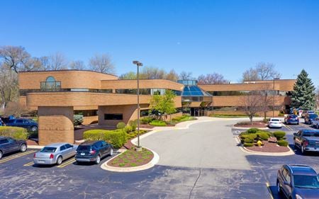 33300 5 Mile Rd, Downtown Livonia, Livonia, MIProperty
- Office
- 39,000 SF
Availability- 2 Spaces
- 4,660 SF
Year Built- 1989
For Lease- $17.95/SF/YR
-
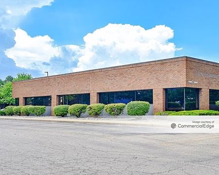 33025 Schoolcraft Road, Devonaire, Livonia, MIProperty
- Office
- 68,915 SF
Availability- 2 Spaces
- 5,242 SF
Year Built- 1983
For Lease Contact for pricing -
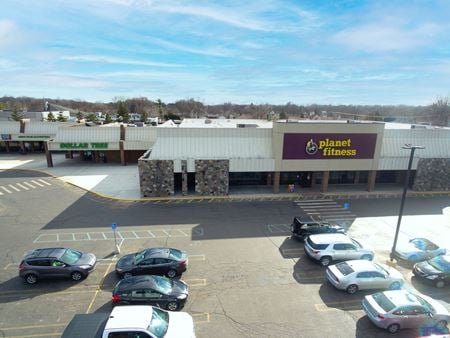 37609-37685 5 Mile Rd, Quakertown - Castle Garden, Livonia, MI
 -
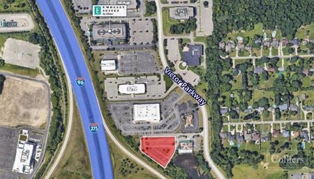 19265 Victor Pkwy, Livonia Hill - Caliburn, Livonia, MI
 -
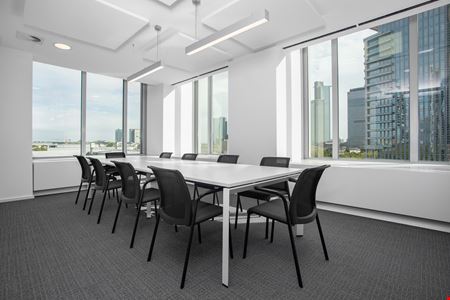 17940 Farmington Road, Livonia, MIServices
- Virtual Office
- Private Office
- Dedicated Desk
Amenities -
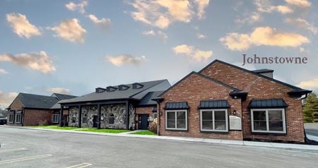 16801 Newburgh Rd, Quakertown - Castle Garden, Livonia, MIProperty
- Office
- 14,874 SF
Availability- 1 Space
- 2,021 SF
Year Built- 1987
For Lease- $17.50/SF/YR
-
 Oakland County, Lyndon Manor - Compton, Oakland County, MIProperty
- Retail
- 3,537 SF
Year Built- 2020
For Sale- $4,250,000
-
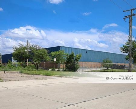 12190 Sears Street, Devonaire, Livonia, MIProperty
- Industrial
- 31,991 SF
Availability- 1 Space
- 31,500 SF
Year Built- 1984
For Lease- $6.45/SF/YR
-
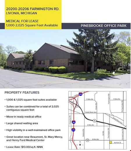 20206 Farmington Road Livonia MI 48152, Brookside - Burton Hollow, Livonia, MIProperty
- Office
- 10,000 SF
Availability Contact for availabilityYear Built- 1981
For Lease Contact for pricing -
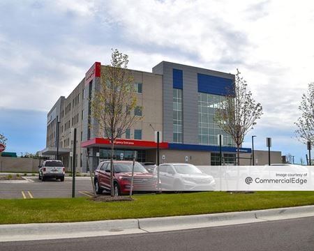 39000 Seven Mile Road, Livonia Hill - Caliburn, Livonia, MIProperty
- Office
- 127,379 SF
Availability- 6 Spaces
- 33,418 SF
Year Built- 2022
For Lease Contact for pricing -
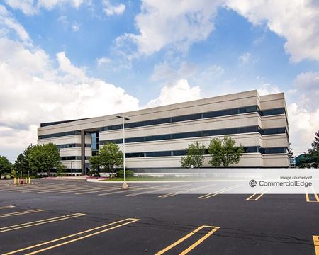 38695 7 Mile Road, Livonia Hill - Caliburn, Livonia, MIProperty
- Office
- 91,170 SF
Availability- 2 Spaces
- 5,869 SF
Year Built- 1998
For Lease- $19.95/SF/YR
-
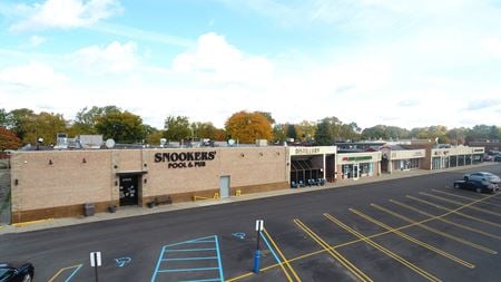 27500 Schoolcraft Rd, Lyndon Manor - Compton, Livonia, MI
 -
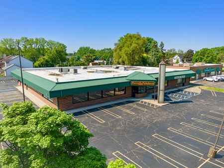 37405 Ann Arbor Rd., Hunters, Livonia, MI
 -
 27500 Schoolcraft Rd, Lyndon Manor - Compton, Livonia, MIProperty
- Retail
- 24,725 SF
For Sale- Subject To Offer
-
 16000 Middlebelt Rd, Lyndon Manor - Compton, Livonia, MIProperty
- Retail
- 7,200 SF
Year Built- 1975
For Sale- $1,000,000
-
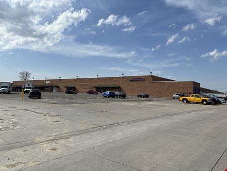 11997 Sears Street, Devonaire, Livonia, MIProperty
- Industrial
- 451,852 SF
Availability- 1 Space
- 451,852 SF
Year Built- 1974
For Lease Contact for pricing -
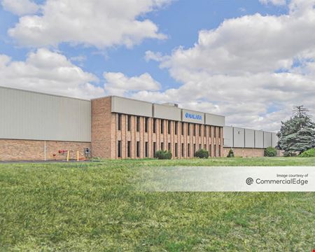 35000 Industrial Road, Livonia South, Livonia, MIProperty
- Industrial
- 156,000 SF
Availability- 1 Space
- 14,570 SF
Year Built- 1976
For Lease Contact for pricing