Norton Shores, MI Commercial Real Estate for Lease and Sale
Explore 15 listings of Norton Shores commercial real estate to find the best space for your business.
-
 5081 Harvey Street, Norton Shores, MIProperty
- Retail
- 3,450 SF
For Sale- $2,597,317
-
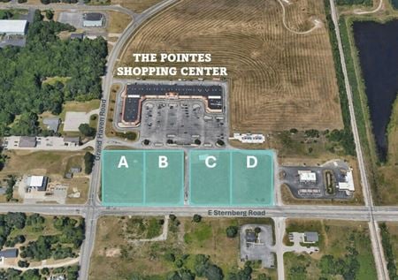 1150 E Sternberg Rd, Norton Shores, MIProperty
- VacantLand
- 58,063 SF
Year Built- 2001
For Sale- $375,000
-
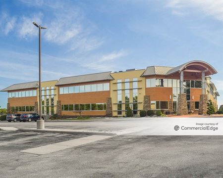 800 East Ellis Road, Norton Shores, MI
AMG North Shores
AMG Business CentersServices- Virtual Office
- Meeting Room
- Private Office
Amenities -
 570 Seminole Rd., Norton Shores, MIProperty
- Office
- 18,650 SF
Year Built- 1991
For Sale- $1,872,258.83
-
 5103-5363 Harvey Street, Norton Shores, MI
 -
 5969 S Harvey, Norton Shores, Muskegon, MIProperty
- Office
- 12,001 SF
Year Built- 2002
For Sale- $1,499,500
-
 570 Seminole Rd., Norton Shores, MIProperty
- Office
- 18,650 SF
Availability- 3 Spaces
- 15,415 SF
Year Built- 1991
For Lease- $14.50/SF/YR
-
 2634 - 2644 Henry St, Norton Shores, Muskegon, MIProperty
- Retail
- 6,240 SF
Availability- 1 Space
- 3,000 SF
Year Built- 1992
For Lease- $12.75/SF/YR
-
 1150 E Sternberg Rd, Norton Shores, MIProperty
- Retail
- 58,063 SF
Availability- 9 Spaces
- 23,809 SF
Year Built- 2001
For Lease- $8.00 - $11.00/SF/YR
-
 3355 Henry St., Roosevelt Park, Muskegon, MIProperty
- Retail
- 25,685 SF
Availability- 6 Spaces
- 13,363 SF
For Lease- $10.00 - $12.00/SF/YR
-
 3295 Henry St, Roosevelt Park, Muskegon, MIProperty
- Retail
- 11,895 SF
For Sale- $4,186,603
-

-
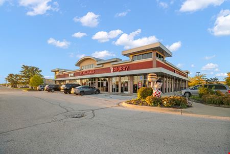 1720 E Sternberg Rd, Fruitport, Muskegon, MIProperty
- Retail
- 12,000 SF
Year Built- 2006
For Sale- $3,945,000
-
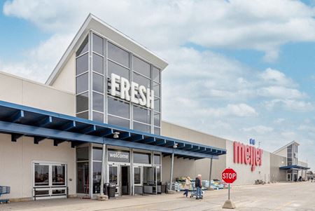 5300 Harvey St., Fruitport, Muskegon, MIProperty
- Retail
- 207,000 SF
Availability- 1 Space
- 476 SF
Year Built- 2006
For Lease Contact for pricing -
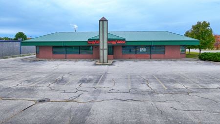 2669 Henry St., Roosevelt Park, Muskegon Crossing, MI