North Olmsted, OH Commercial Real Estate for Lease and Sale
Explore 29 listings of North Olmsted commercial real estate to find the best space for your business.
-
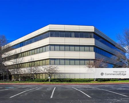 25000 Country Club Blvd, North Olmsted, OHProperty
- Office
- 109,708 SF
Availability- 9 Spaces
- 42,265 SF
Year Built- 1985
For Lease Contact for pricing -
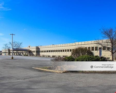 25111 Country Club Blvd, North Olmsted, OHProperty
- Office
- 72,040 SF
Availability- 11 Spaces
- 46,673 SF
Year Built- 1986
For Lease- $18.50/SF/YR
-
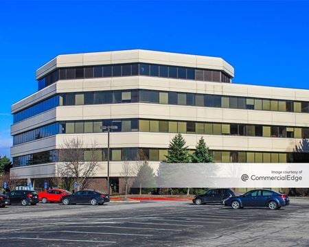 24950 Country Club Blvd, North Olmsted, OHProperty
- Office
- 104,500 SF
Availability- 8 Spaces
- 53,831 SF
Year Built- 1987
For Lease Contact for pricing -
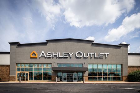 26520 Lorain Rd, North Olmsted, OH
 -

What type of listing property are you looking for?
-
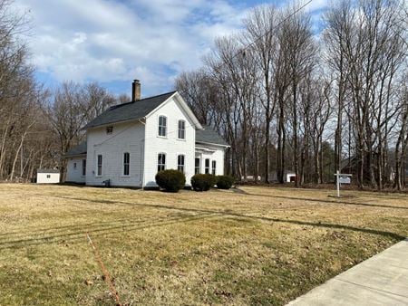 25896 Butternut Ridge Road, North Olmsted, OHProperty
- Land
For Sale- $495,000/SF
-
 26437 Great Northern Shop Center, North Olmsted, OH
 -
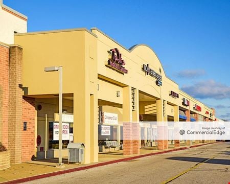 25853 Brookpark Road, North Olmsted, OHProperty
- Retail
- 668,976 SF
Availability- 8 Spaces
- 109,593 SF
Year Built- 1959
For Lease Contact for pricing -
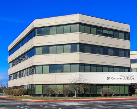 25050 Country Club Blvd, North Olmsted, OHProperty
- Office
- 70,519 SF
Availability- 5 Spaces
- 58,057 SF
Year Built- 1999
For Lease Contact for pricing -
 31336 Industrial Pkwy, North Olmsted, OHProperty
- Industrial
- 53,332 SF
Availability- 1 Space
- 65,000 SF
Year Built- 2002
For Lease- $9.90/SF/YR
-
 29000 Lorain Road, North Olmsted, OH
 -
 27048 Lorain Rd, North Olmsted, OH
 -

-
 29880 Lorain Rd, North Olmsted, OH
 -
 23889 Lorain Rd, North Olmsted, OHProperty
- Retail
- 2,400 SF
Year Built- 1928
For Sale- $300,000
-
 25675 Lorain Road, North Olmsted, OHProperty
- VacantLand
- 0.32 Acre
For Sale- $250,000
-
 4579-4695 Great Northern Blvd, North Olmsted, OH
 -
 26520 LORAIN RD, North Olmsted, OH
 -
 27116 Lorain Road, North Olmsted, OH
 -
 25300 Al Moen Dr, North Olmsted, OH
 -
 28253 Lorain Rd, North Olmsted, OH
 -
 25801 Brookpark Rd, North Olmsted, OH
 -
 24025 Lorain Rd, North Olmsted, OHProperty
- Retail
- 5,000 SF
Availability- 1 Space
- 4,137 SF
Year Built- 1979
For Lease Contact for pricing -
 25757 - 25761 Lorain Road, North Olmsted, OHProperty
- Office
- 3,725 SF
Availability- 2 Spaces
- 3,725 SF
For Lease- $18.50/SF/YR
-
 27048 Lorain Rd, North Olmsted, OHProperty
- VacantLand
- 4,000 SF
Availability- 1 Space
- 4,000 SF
Year Built- 1989
For Lease Contact for pricing -
 4859 Dover Center, North Olmsted, OHProperty
- Office
- 17,904 SF
Availability- 2 Spaces
- 2,660 SF
For Lease- $13.75 - $18.00/SF/YR
-
 23250 Lorain Road, North Olmsted, OH
 -
 4701-4763 Great Northern Blvd, North Olmsted, OH
 -
 31134 Lorain Rd, North Olmsted, OH
 -
 23130 Lorain Road, North Olmsted, OH