Commerce City, CO Commercial Real Estate for Lease and Sale
Explore 98 listings of Commerce City commercial real estate to find the best space for your business.
-
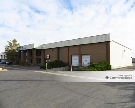 5720 Holly Street, Rocky Mountain Industrial Park, Commerce City, COProperty
- Industrial
- 50,000 SF
Availability- 1 Space
- 15,980 SF
Year Built- 1984
For Lease- $10.50/SF/YR
-
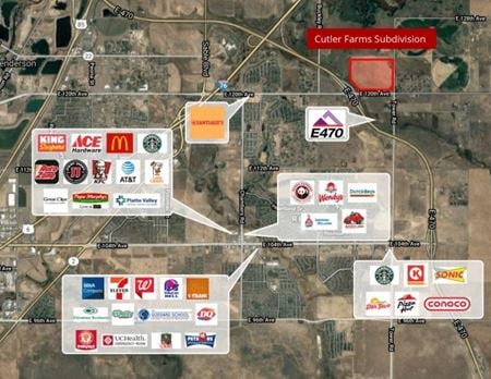 NWC of 120th Avenue & Tower Road, Cutler Farms, Commerce City, COProperty
- VacantLand
For Sale- $2,500,000
-
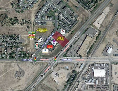 104th Avenue and Highway 85 - NWC, Henderson, Commerce City, CO
 -
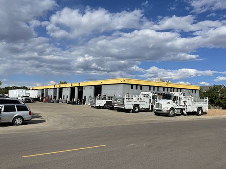 5245 E 69th Ave, Hinchman Renton Garden, Commerce City, COProperty
- Industrial
- 18,400 SF
Availability- 1 Space
- 18,400 SF
Year Built- 1987
For Lease Contact for pricing -

What type of listing property are you looking for?
-
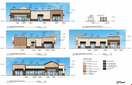 E. 104th Ave. & Potomac St., Potomac Farms, Commerce City, CO
 -
 104th Avenue and Highway 85 - NWC, Henderson, Commerce City, COProperty
- VacantLand
- 1 SF
For Sale- Subject To Offer
-
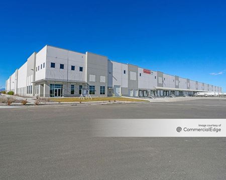 8251 Quintero Street, Dia Tech Center, Commerce City, COProperty
- Industrial
- 541,428 SF
Availability- 1 Space
- 94,621 SF
Year Built- 2018
For Lease Contact for pricing -
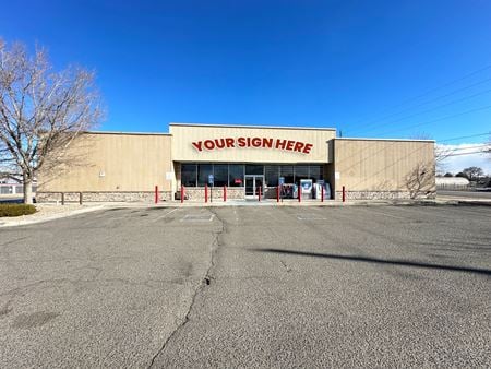 6071 E 72nd Ave, Derby, Commerce City, COProperty
- Retail
- 7,903 SF
Availability- 1 Space
- 7,903 SF
Year Built- 2004
For Lease- $15.00 - $16.00/SF/YR
-
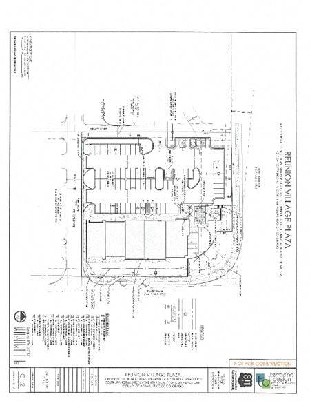 18494 E. 104th Ave. , Reunion, Commerce City, COProperty
- VacantLand
For Sale- Subject To Offer
-
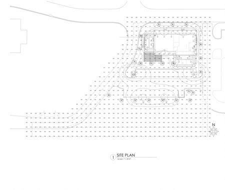 15400 E. 103rd Place, Fronterra Village, Commerce City, COProperty
- Retail
- 2,200 SF
Availability- 1 Space
- 2,200 SF
For Lease- $34.00/SF/YR
-
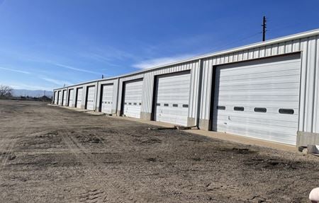 5555 Dahlia, Maddox Industrial, Commerce City, COProperty
- Industrial
- 18,000 SF
Availability- 1 Space
- 18,000 SF
Year Built- 1960
For Lease- $18,000.00/MO
-
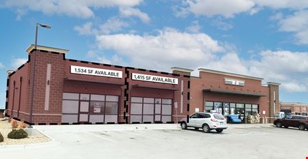 12302 E. 104th Avenue, Turnberry, Commerce City, CO
 -
.jpg?width=450) 6125 e 56th ave commerce city co, Rocky Mountain Industrial Park, Commerce City, COProperty
6125 e 56th ave commerce city co, Rocky Mountain Industrial Park, Commerce City, COProperty- Industrial
- 80,000 SF
Availability- 5 Spaces
- 67,500 SF
For Lease- $10.00/SF/YR
-
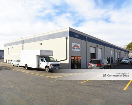 6000 East 49th Drive, Stapleton Industrial Park, Commerce City, COProperty
- Industrial
- 78,500 SF
Availability- 4 Spaces
- 49,794 SF
Year Built- 1985
For Lease- $11.00/SF/YR
-
 6071 E 72nd Ave, Derby, Commerce City, COProperty
- Retail
- 7,903 SF
Year Built- 2004
For Sale- $1,775,000
-
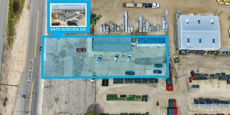 6970 Eudora Drive, Adams City, Commerce City, COProperty
- Industrial
- 1,403 SF
For Sale- $600,000
-
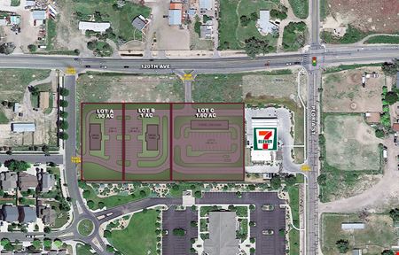 120th Avenue and Peoria Street - SWQ, Henderson, Commerce City, COProperty
- Retail
- 1 SF
For Sale- Subject To Offer
-
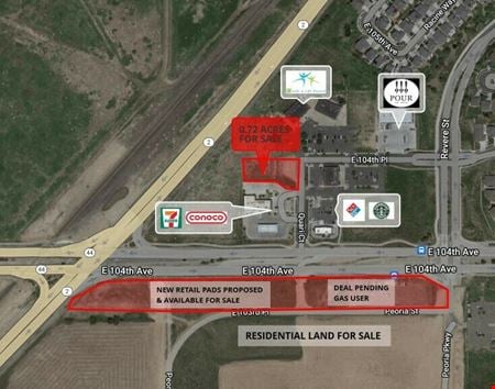 10431 Quari Ct, Turnberry, Commerce City, COProperty
- VacantLand
For Sale- Subject To Offer
-
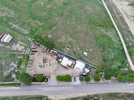 10701 East 120th Avenue, Henderson, COProperty
- Office
- 1,848 SF
Year Built- 1931
For Sale- $999,000
-
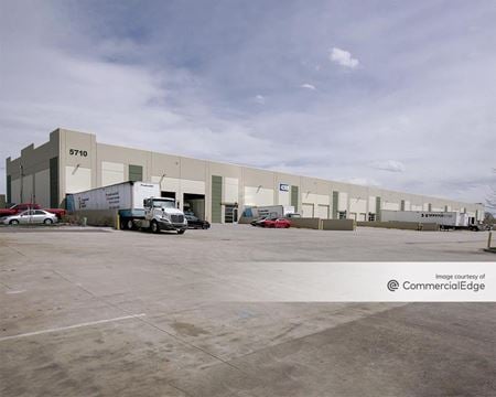 5690 East 56th Avenue, Park Industrial, Commerce City, COProperty
- Industrial
- 155,000 SF
Availability- 2 Spaces
- 15,000 SF
Year Built- 2007
For Lease- $10.00/SF/YR
-
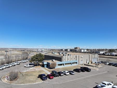 3700 E 68th Ave , Stonehenge, Commerce City, COProperty
- Industrial
- 31,719 SF
Year Built- 1984
For Sale- $7,500,000
-
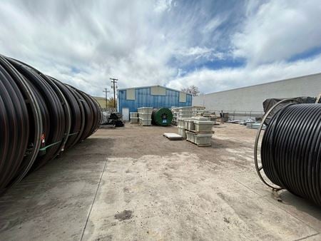 4940 Monaco Street, Stapleton Industrial Park, Commerce City, COProperty
- Industrial
- 4,120 SF
Availability- 1 Space
- 4,120 SF
For Lease- $22.00/SF/YR
-
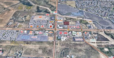 104th Avenue & Chambers Road, Lot 9A - NEC , Buffalo Mesa, Commerce City, CO
 -
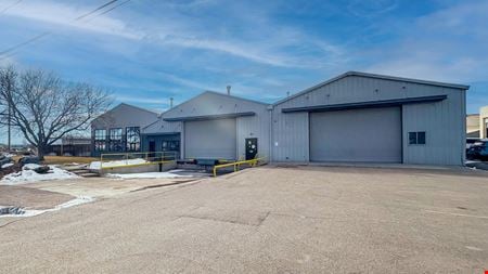 6121 Clermont Street, Dexter Commercial, Commerce City, COProperty
- Other
- 20,000 SF
Year Built- 1958
For Sale- $4,000,000
-
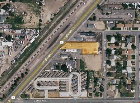 6980 Highway 2, Holly Heights, Commerce City, COProperty
- Industrial
- 3,030 SF
Availability- 1 Space
- 3,030 SF
For Lease- $15.00/SF/YR
-
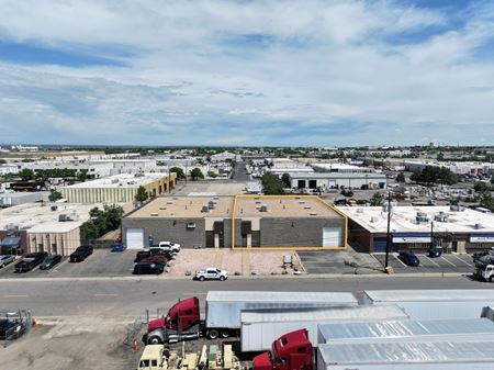 6865 E 48th Ave, Stapleton Industrial Park, Commerce City, COProperty
- Industrial
- 7,300 SF
Availability- 1 Space
- 7,300 SF
Year Built- 1979
For Lease- $11.75/SF/YR
-
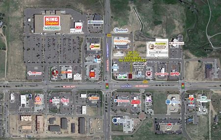 104th Avenue and Chambers Road, Aspen Hills, Commerce City, CO
 -
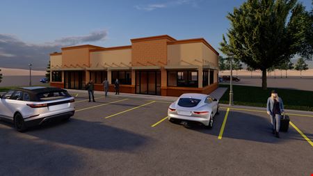 15320 E. 103rd Place, Unit B & Unit C, Fronterra Village, Commerce City, COProperty
- Retail
- 4,000 SF
Availability- 1 Space
- 4,000 SF
For Lease- $32.00/SF/YR
-
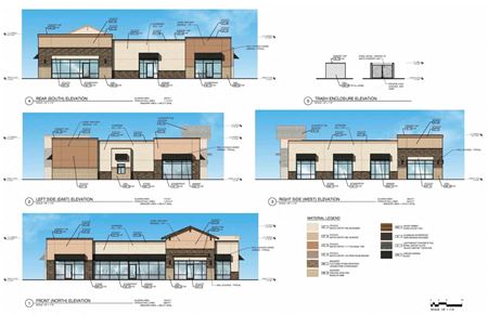 E. 104th Ave. & Potomac St. , North Range Village, Commerce City, COProperty
- VacantLand
For Sale- Subject To Offer
-
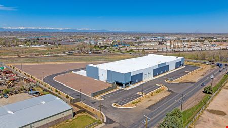 8705 Rosemary Street, Henderson, Commerce City, CO
 -
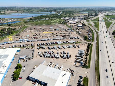 6800 E 96th Avenue, Henderson, COProperty
- VacantLand
Availability- 3 Spaces
- 392,040 SF
For Lease- $4,000.00/SF/MO
-
 8705 Rosemary Street, Henderson, Commerce City, CO
 -
 10701 East 120th Avenue, Henderson, COProperty
- Office
- 1,848 SF
Availability- 1 Space
- 1,848 SF
Year Built- 1931
For Lease Contact for pricing -
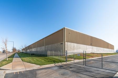 9410 Heinz Way, Henderson, Commerce City, COProperty
- Industrial
- 140,630 SF
Availability- 1 Space
- 140,630 SF
Year Built- 2005
For Lease- $12.50/SF/YR
-
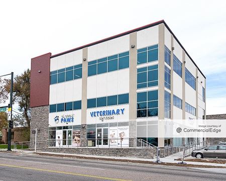 SWC East 81st Avenue & Tower Road, Denver International Airpark, Denver, CO
 -
 9109 Monaco Street, Henderson, COProperty
- Industrial
- 19,350 SF
Availability- 1 Space
- 21,511 SF
For Lease- $24.00/SF/YR
-
 6471 East 49th Drive, Stapleton Industrial Park, Commerce City, COProperty
- Industrial
- 28,300 SF
Availability- 2 Spaces
- 18,926 SF
Year Built- 1975
For Lease- $8.95/SF/YR
-
 5859 E 56th Ave, Rocky Mountain Industrial Park, Commerce City, COProperty
- Other
For Sale- $499,000
-
 9670 Dallas Street Unit 1, Henderson, Commerce City, COProperty
- Industrial
- 3,000 SF
Year Built- 2000
For Sale- $639,000
-
 7627 Dahlia St, Derby, Commerce City, COProperty
- Industrial
- 14,980 SF
Availability- 1 Space
- 14,980 SF
Year Built- 1962
For Lease Contact for pricing -
 5555 East 58th Avenue, NW Transport, Commerce City, COProperty
- Industrial
- 20,100 SF
Availability- 1 Space
- 21,646 SF
For Lease- $20.00/SF/YR
-
 112TH AVENUE & TOWER ROAD, Reunion, Commerce City, CO
 -
 11955 & 11965 Tower Rd, Cutler Farms, Commerce City, CO
 -
 6185 E 56th Ave, Rocky Mountain Industrial Park, Commerce City, CO
 -
 6701-6749 E. 50th Avenue, Denado, Commerce City, CO
 -
 4950 - 4970 E 62nd Ave, Town and Country, Commerce City, CO
 -
 104th Avenue and Chambers Road - NEC, Buffalo Mesa, Commerce City, COProperty
- VacantLand
For Sale- Subject To Offer
-
 9690 Dallas Street, Henderson, COProperty
- Industrial
- 11,000 SF
For Sale- $2,400,000
-
 4241 E 64th Ave, Adams Heights, Commerce City, COProperty
- Industrial
- 7,331 SF
Availability- 1 Space
- 7,331 SF
Year Built- 1996
For Lease- $32.74/SF/YR
-
 15490 E 120th Ave, Villages at Buffalo Run, Brighton, CO
 -
 6750 - 6760 Hwy. 2, Tichy, Commerce City, COProperty
- VacantLand
For Sale- $1,200,000
-
 6757 E 50th Ave, Denado, Commerce City, COProperty
- Industrial
- 7,927 SF
Availability- 1 Space
- 7,927 SF
For Lease- $11.00 - $14.00/SF/YR