Broomfield, CO Commercial Real Estate for Lease and Sale
Explore 89 listings of Broomfield commercial real estate to find the best space for your business.
-
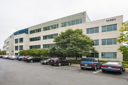 11101 West 120th Ave, High Ridge, Broomfield, COProperty
- Office
- 108,343 SF
Availability- 6 Spaces
- 64,525 SF
Year Built- 1999
For Lease Contact for pricing -
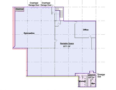 6900 W. 117th Ave., Broomfield Industrial Park, Broomfield, COProperty
- Industrial
- 62,900 SF
Availability- 1 Space
- 9,771 SF
Year Built- 1984
For Lease- $8.90/SF/YR
-
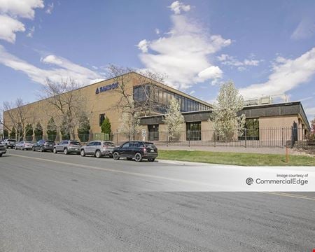 2555 West Midway Blvd, Turnpike Industrial Park, Broomfield, COProperty
- Industrial
- 428,629 SF
Availability- 1 Space
- 436,534 SF
Year Built- 1974
For Lease Contact for pricing -
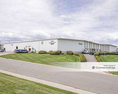 2380 West Midway Boulevard, Atlas Industrial Park, Broomfield, COProperty
- Industrial
- 25,000 SF
Availability- 1 Space
- 9,172 SF
Year Built- 1978
For Lease Contact for pricing -

What type of listing property are you looking for?
-
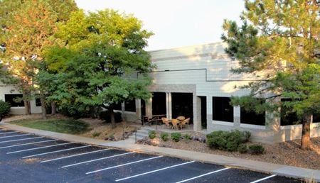 100 Technology Drive, Interlocken, Broomfield, COProperty
- Office
- 68,152 SF
Availability- 1 Space
- 14,795 SF
Year Built- 1985
For Lease- $16.50/SF/YR
-
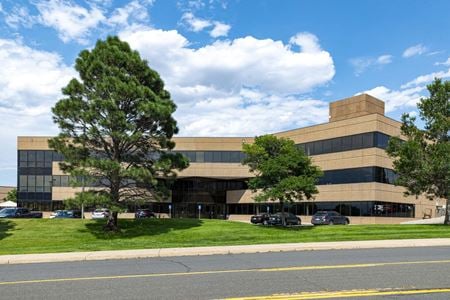 2655 Midway Blvd, Hunter Douglas Business Park, Broomfield, COProperty
- Office
- 92,937 SF
Availability- 1 Space
- 92,937 SF
Year Built- 1994
For Lease- $20.00/SF/YR
-
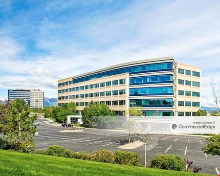 370 Interlocken Blvd, Interlocken, Broomfield, COProperty
- Office
- 150,656 SF
Availability- 10 Spaces
- 101,415 SF
Year Built- 1999
For Lease Contact for pricing -
295 Interlocken Blvd, Interlocken, Broomfield, COProperty
- Industrial
- 63,887 SF
Availability- 5 Spaces
- 24,236 SF
Year Built- 1984
For Lease- $15.00 - $19.00/SF/YR
-
8300 Arista Pl, Broomfield Urban Transit Village, Broomfield, COProperty
- Retail
- 3,820 SF
Availability Contact for availabilityYear Built- 2009
For Lease Contact for pricing -
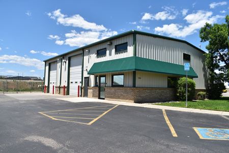 7320 W 118th Pl, Broomfield Industrial Park, Broomfield, COProperty
- Industrial
- 4,550 SF
Year Built- 2001
For Sale- $1,499,999
-
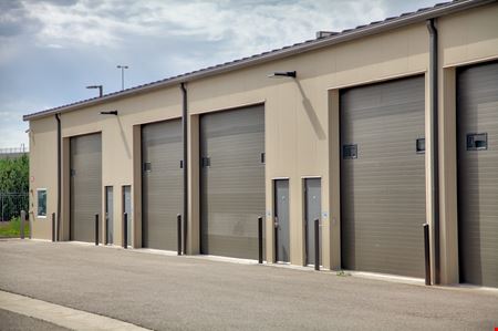 2364 Industrial Ln # 218, Industrial Lane, Broomfield, COProperty
- Industrial
- 1,600 SF
Year Built- 2019
For Sale- $512,000
-
7105 W 119th Pl, Vista Pointe, Broomfield, COProperty
- Retail
- 1,386 SF
Year Built- 1953
For Sale- $419,000
-
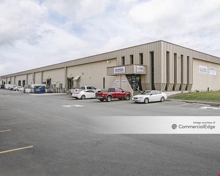 2275 West Midway Boulevard, Atlas Industrial Park, Broomfield, COProperty
- Industrial
- 80,370 SF
Availability- 1 Space
- 14,940 SF
Year Built- 1974
For Lease Contact for pricing -
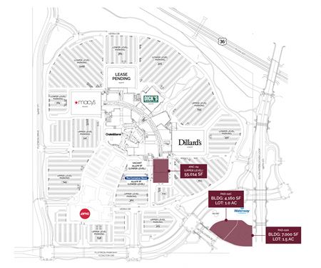 1 W Flatiron Crossing Dr, Flatiron Crossing, Broomfield, COProperty
- Retail
- 1,393,000 SF
Availability- 3 Spaces
- 163,914 SF
Year Built- 2000
For Lease Contact for pricing -
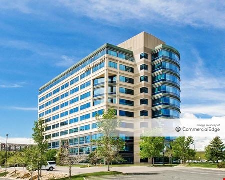 390 Interlocken Crescent, Interlocken, Broomfield, COProperty
- Office
- 241,516 SF
Availability- 5 Spaces
- 50,550 SF
Year Built- 2004
For Lease- $24.00/SF/YR
-
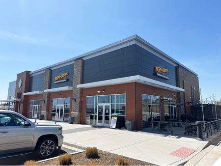 120th Avenue & Highway 36 - SEC, Broomfield Urban Transit Village, Broomfield, CO
 -
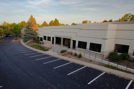 100 Technology Drive, Interlocken, Broomfield, COProperty
- Flex Space
- 25,381 SF
Year Built- 1985
For Sale- $6,825,000
-
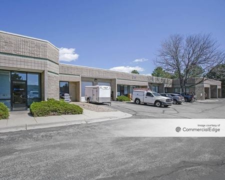 575 Burbank Street, Broomfield Professional Park, Broomfield, COProperty
- Industrial
- 136,510 SF
Availability- 4 Spaces
- 6,040 SF
Year Built- 1985
For Lease- $15.00/SF/YR
-
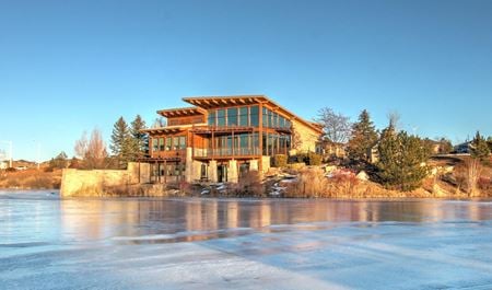 16677 Lowell Blvd, Anthem Ranch, Broomfield, COProperty
- Office
- 6,858 SF
Availability- 1 Space
- 1,696 SF
Year Built- 2005
For Lease- $28.00/SF/YR
-
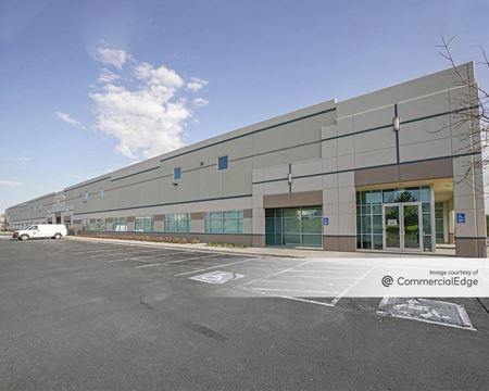 11575 Main Street, Interpark, Broomfield, COProperty
- Industrial
- 101,877 SF
Availability- 1 Space
- 13,000 SF
Year Built- 2002
For Lease Contact for pricing -
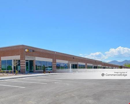 12120 Quantum Pkwy, Great Western Park, Broomfield, COProperty
- Office
- 41,480 SF
Availability- 16 Spaces
- 41,480 SF
Year Built- 2024
For Lease Contact for pricing -
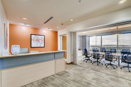 11001 West 120th Avenue Suite 400, Broomfield, CO
Broomfield Office Evolution
Office EvolutionServices- Virtual Office
- Open Workspace
- Meeting Room
Amenities -
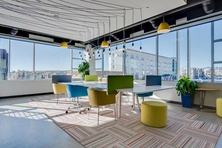 8181 Arista Place #100, Broomfield, CO
Spaces Arista
SpacesServices- Virtual Office
- Open Workspace
- Private Office
- Dedicated Desk
Amenities -
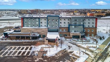 14275 Lincoln Way, Westlake Village, Thornton, COProperty
- Retail
- 3.17 Acre
For Sale- $21,000,000
-
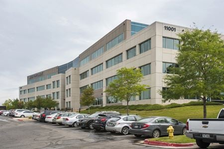 11001 West 120th Ave, High Ridge, Broomfield, COProperty
- Office
- 107,870 SF
Availability- 6 Spaces
- 38,439 SF
Year Built- 1999
For Lease Contact for pricing -
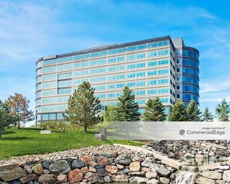 380 Interlocken Crescent, Interlocken, Broomfield, COProperty
- Office
- 240,185 SF
Availability- 16 Spaces
- 231,805 SF
Year Built- 2001
For Lease Contact for pricing -
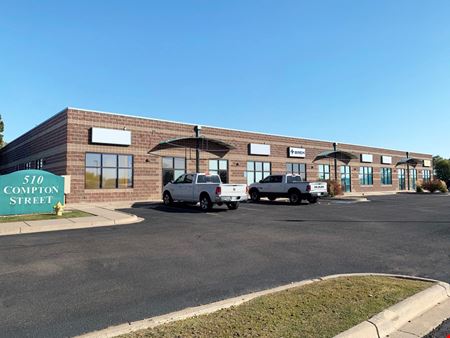 510 Compton St, Atlas Industrial Park, Broomfield, COProperty
- Industrial
- 20,340 SF
Availability- 2 Spaces
- 5,417 SF
Year Built- 1997
For Lease- $15.50/SF/YR
-
_C.jpg?width=450) 1 West FlatIron Crossing Drive, Flatiron Crossing, Broomfield, COProperty
1 West FlatIron Crossing Drive, Flatiron Crossing, Broomfield, COProperty- Retail
- 1,416,675 SF
Availability- 9 Spaces
- 13,873 SF
Year Built- 2000
For Lease Contact for pricing -
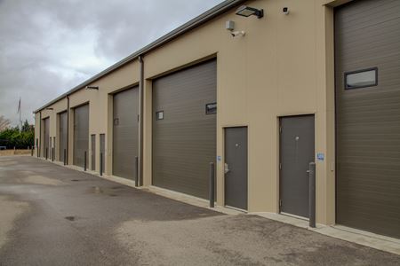 2364 Industrial Ln # 307, Industrial Lane, Broomfield, COProperty
- Industrial
- 1,320 SF
Year Built- 2019
For Sale- $425,000
-
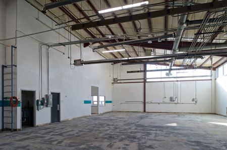 11610 Quay Street, Broomfield Industrial Park, Broomfield, CO
 -
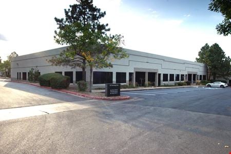 100 Technology Drive, Interlocken, Broomfield, COProperty
- Flex Space
- 14,794 SF
Year Built- 1985
For Sale- $3,550,000
-
 16677 Lowell Blvd, Anthem Ranch, Broomfield, COProperty
- Office
- 7,047 SF
Year Built- 2005
For Sale- $2,995,000
-
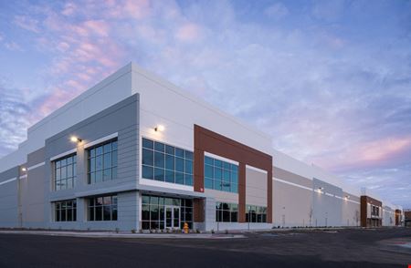 800 - 830 Hoyt Street, Turnpike Industrial Park, Broomfield, COProperty
- Industrial
- 274,719 SF
Availability- 3 Spaces
- 184,615 SF
Year Built- 2019
For Lease Contact for pricing -
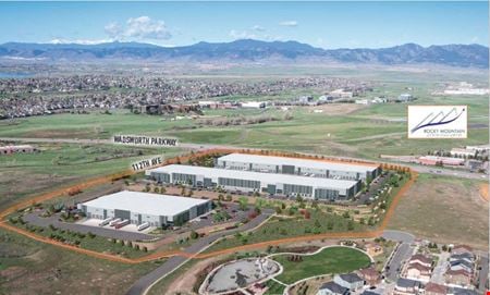 11250 Wadsworth Pkwy, Broomfield Urban Transit Village, Broomfield, COProperty
- Industrial
- 359,800 SF
Availability- 3 Spaces
- 359,800 SF
Year Built- 2024
For Lease Contact for pricing -
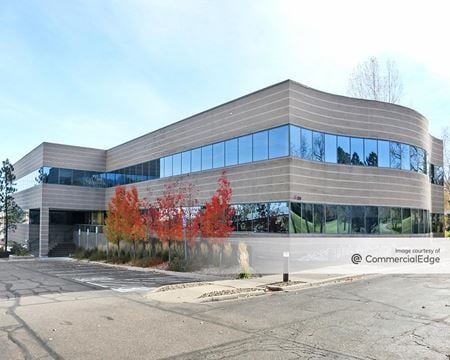 350 Interlocken Blvd, Interlocken, Broomfield, COProperty
- Office
- 43,270 SF
Availability- 4 Spaces
- 13,398 SF
Year Built- 1985
For Lease Contact for pricing -
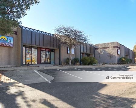 2150 West 6th Avenue, Broomfield Professional Park, Broomfield, COProperty
- Industrial
- 58,400 SF
Availability- 1 Space
- 5,600 SF
Year Built- 1983
For Lease- $13.00/SF/YR
-
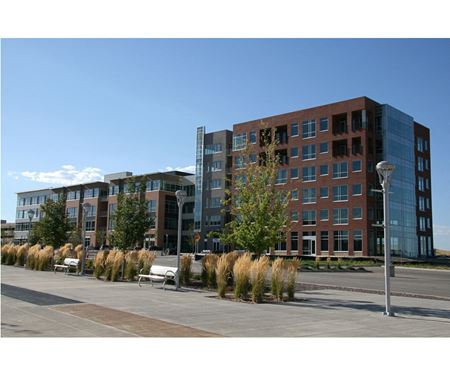 8001 & 8181 Arista Place, Broomfield Urban Transit Village, Broomfield, COProperty
- Retail
- 4,407 SF
Availability- 2 Spaces
- 7,616 SF
Year Built- 2017
For Lease Contact for pricing -
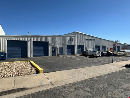 11680 Quay St, Broomfield Industrial Park, Broomfield, COProperty
- Industrial
- 13,400 SF
Availability- 2 Spaces
- 3,504 SF
Year Built- 1977
For Lease- $14.50/SF/YR
-
 11610 Quay Street, Broomfield Industrial Park, Broomfield, COProperty
- Industrial
- 10,000 SF
Availability- 3 Spaces
- 24,000 SF
Year Built- 1998
For Lease- $14.00 - $14.50/SF/YR
-
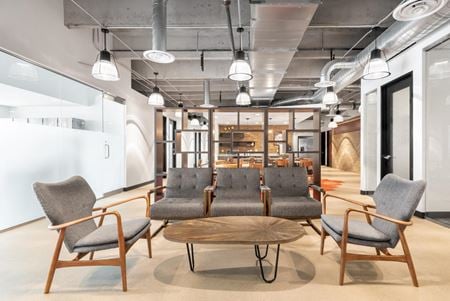 390 Interlocken Crescent Suite 350, Broomfield, CO
Interlocken
RegusServices- Virtual Office
- Open Workspace
- Private Office
- Dedicated Desk
Amenities -
 11525 Main Street, Interpark, Broomfield, COProperty
- Industrial
- 92,800 SF
Availability- 1 Space
- 30,726 SF
Year Built- 2001
For Lease Contact for pricing -
 5125 West 120th Avenue, Broomfield Town Centre, Broomfield, COProperty
- Retail
- 105,064 SF
Availability- 4 Spaces
- 7,323 SF
Year Built- 1979
For Lease Contact for pricing -
 E. of SEC Highway 128 & Indiana Street, The Ridge at Broomfield, Broomfield, CO
 -
 26 Garden Center, Broomfield, CO
Work at 26
Work at 26Services- Meeting Room
- Private Office
- Dedicated Desk
Amenities -
 11970 Quay Street, Vista Pointe, Broomfield, COProperty
- Office
- 1,922 SF
For Sale- $509,000
-
 7249 W 116th Ave, Broomfield Industrial Park, Broomfield, COProperty
- Industrial
- 20,150 SF
Availability- 1 Space
- 1,400 SF
Year Built- 2008
For Lease- $1,850.00/MO
-
 9000 Metro Airport Ave., Jeffco Business Center, Broomfield, CO
 -
 11100 Broomfield Lane, Broomfield Urban Transit Village, Broomfield, COProperty
- Industrial
- 150,725 SF
Availability- 5 Spaces
- 86,904 SF
Year Built- 2023
For Lease- $17.00/SF/YR
-
 10901 West 120th Ave, Blair, Broomfield, COProperty
- Office
- 108,798 SF
Availability- 9 Spaces
- 50,318 SF
Year Built- 2001
For Lease Contact for pricing -
 NEC West 167th Avenue & Sheridan Parkway, North Park, Broomfield, CO
 -
 3700 W. 144th Avenue, Broadlands, Broomfield, CO
 -
 NWC Hwy 7 and Huron St, Highlands, Broomfield, CO
