Croydon, PA Commercial Real Estate for Lease and Sale
Explore 15 listings of Croydon commercial real estate to find the best space for your business.
-
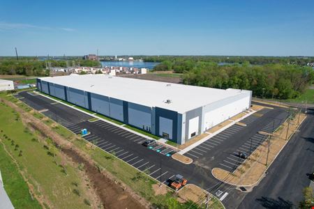 120 Phyllis Drive, Croydon, PA
 -
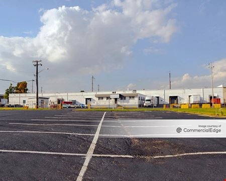 3001 State Road, Croydon, PAProperty
- Industrial
- 101,869 SF
Availability- 1 Space
- 101,869 SF
Year Built- 1964
For Lease Contact for pricing -
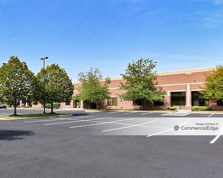 1515 Grundy's Lane, Fergusonville, Bristol, PAProperty
- Industrial
- 135,000 SF
Availability- 2 Spaces
- 23,500 SF
Year Built- 2000
For Lease Contact for pricing -
 1067 Totem Road, Clusters, Bensalem, PA
 -
 1067 Totem Road, Clusters, Bensalem, PA
 -
 1067 Totem Road, Clusters, Bensalem, PA
 -
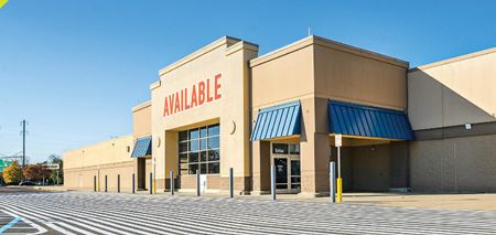 100 Commerce Drive, Bristol, PA
 -
 100 Commerce Circle, Bristol, PAProperty
- Retail
- 283,154 SF
Availability- 5 Spaces
- 34,356 SF
Year Built- 1986
For Lease Contact for pricing -
 1200 Veterans Highway, Winder Village, Bristol, PA
 -
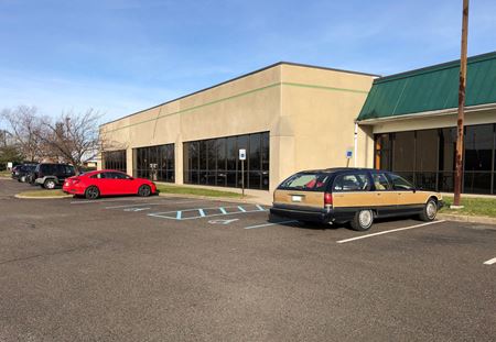 450-460 Veterans Drive, Burlington, NJProperty
- Industrial
- 55,465 SF
Availability- 3 Spaces
- 15,489 SF
Year Built- 1984
For Lease Contact for pricing -
 1298 Veterans Hwy, Winder Village, Bristol, PA
 -
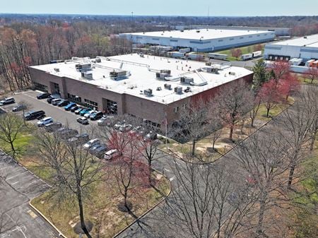 411 Sinclair Road, Fergusonville, Bristol, PAProperty
- Industrial
- 60,109 SF
Availability- 1 Space
- 60,109 SF
Year Built- 1992
For Lease Contact for pricing -
 200 Rittenhouse Circle, North Building, West Bristol, Bristol, PAProperty
- Industrial
- 18,300 SF
Availability- 1 Space
- 18,300 SF
Year Built- 1983
For Lease Contact for pricing -
 445 Ellis Street, Burlington, NJProperty
- Industrial
- 15,000 SF
Availability- 1 Space
- 15,000 SF
Year Built- 1952
For Lease Contact for pricing -
 148 West Broad Street, Burlington, NJProperty
- Retail
- 3,285 SF
Availability- 1 Space
- 3,285 SF
For Lease- $3,250.00/MO