Feasterville Trevose, PA Commercial Real Estate for Lease and Sale
Explore 28 listings of Feasterville Trevose commercial real estate to find the best space for your business.
-
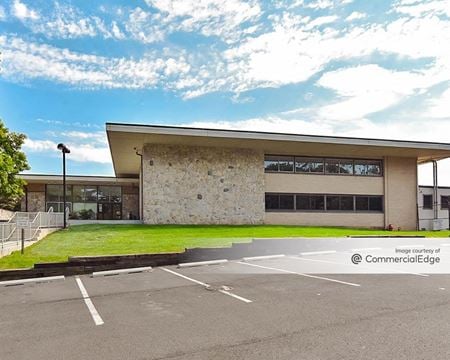 4800 Street Road, Sherwood Estates - Trevose Heights, Trevose, PAProperty
- Office
- 364,000 SF
Availability- 6 Spaces
- 114,987 SF
Year Built- 1971
For Lease Contact for pricing -
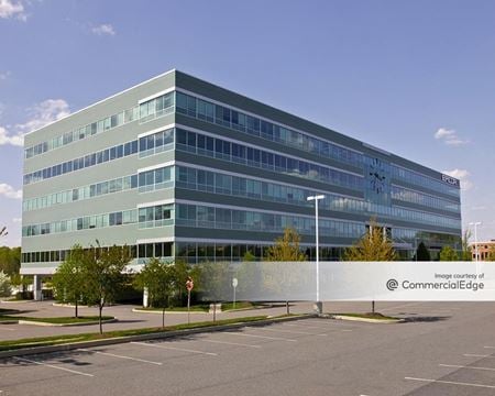 3800 Horizon Blvd, Sherwood Estates - Trevose Heights, Feasterville Trevose, PAProperty
- Office
- 214,600 SF
Availability- 3 Spaces
- 35,819 SF
Year Built- 2009
For Lease Contact for pricing -
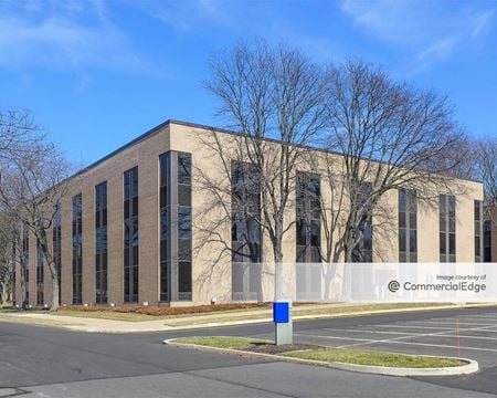 4 Neshaminy Interplex Drive, Linconia-Concord Park, Feasterville Trevose, PAProperty
- Office
- 50,883 SF
Availability- 2 Spaces
- 6,173 SF
Year Built- 1981
For Lease Contact for pricing -
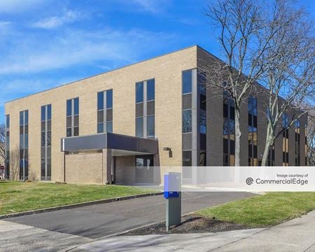 1 Neshaminy Interplex, Linconia-Concord Park, Trevose, PAProperty
- Office
- 42,000 SF
Availability- 1 Space
- 2,394 SF
Year Built- 1977
For Lease Contact for pricing -

What type of listing property are you looking for?
-
 1 Neshaminy Interplex Drive, Linconia-Concord Park, Feasterville Trevose, PAProperty
- Office
- 94,383 SF
Availability- 9 Spaces
- 34,296 SF
Year Built- 1981
For Lease Contact for pricing -
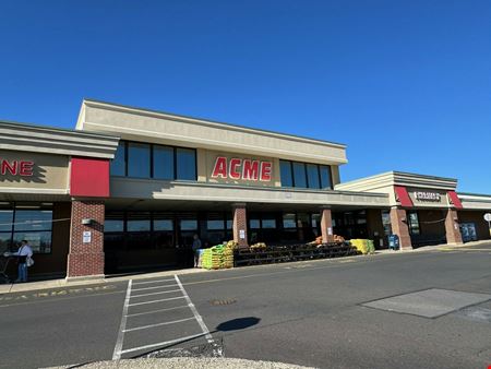 105 East Street Road, Woodland Estates, Feasterville-Trevose, PA
 -
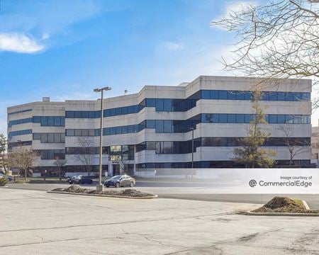 7 Neshaminy Interplex Drive, Linconia-Concord Park, Feasterville Trevose, PAProperty
- Office
- 63,489 SF
Availability- 4 Spaces
- 20,556 SF
Year Built- 1989
For Lease Contact for pricing -
 6 Neshaminy Interplex, Linconia-Concord Park, Trevose, PAProperty
- Office
- 114,000 SF
Availability- 1 Space
- 2,475 SF
Year Built- 1986
For Lease Contact for pricing -
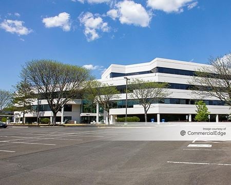 8 Neshaminy Interplex Drive, Linconia-Concord Park, Feasterville Trevose, PAProperty
- Office
- 130,000 SF
Availability- 6 Spaces
- 39,391 SF
Year Built- 1990
For Lease Contact for pricing -
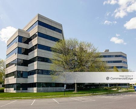 6 Neshaminy Interplex Drive, Linconia-Concord Park, Feasterville Trevose, PAProperty
- Office
- 115,000 SF
Availability- 5 Spaces
- 19,995 SF
Year Built- 1980
For Lease Contact for pricing -
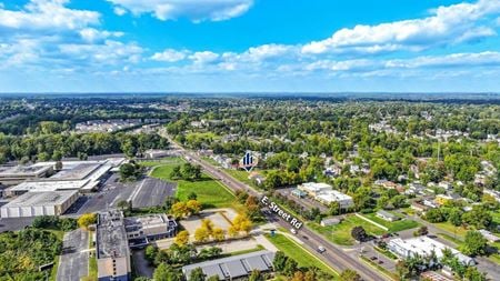 4797 E Street Road, Sherwood Estates - Trevose Heights, Feasterville-Trevose, PAProperty
- VacantLand
For Sale- Subject To Offer
-
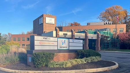 1000 Northbrook Drive Suite 100, Feasterville-Trevose, PA
Sentient Workspace
Sentient WorkspaceServices- Virtual Office
- Meeting Room
Amenities -
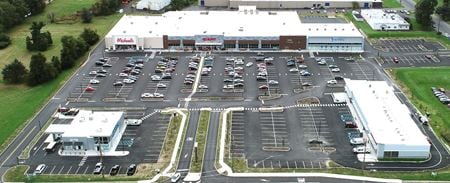 176 West Street Road, Broad View Farms, Feasterville, PAProperty
- Retail
- 119,594 SF
Availability- 1 Space
- 1,600 SF
Year Built- 2018
For Lease Contact for pricing -
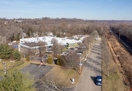 3190 Tremont Avenue, Sherwood Estates - Trevose Heights, Feasterville-Trevose, PAProperty
- Office
- 69,500 SF
Availability- 1 Space
- 68,900 SF
For Lease- $9.00/SF/YR
-
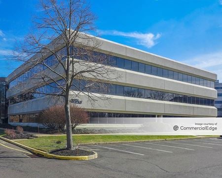 5 Neshaminy Interplex Drive, Linconia-Concord Park, Feasterville Trevose, PAProperty
- Office
- 55,272 SF
Availability- 6 Spaces
- 25,927 SF
Year Built- 1987
For Lease Contact for pricing -
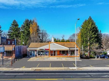 326 Bustleton Pike, Pine Tree Farms, Feasterville Trevose, PAProperty
- Office
- 2,600 SF
Availability- 1 Space
- 2,000 SF
Year Built- 1968
For Lease Contact for pricing -
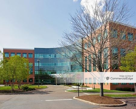 1150 Northbrook Drive, Sherwood Estates - Trevose Heights, Bensalem, PAProperty
- Office
- 107,742 SF
Availability- 1 Space
- 26,714 SF
Year Built- 2007
For Lease Contact for pricing -
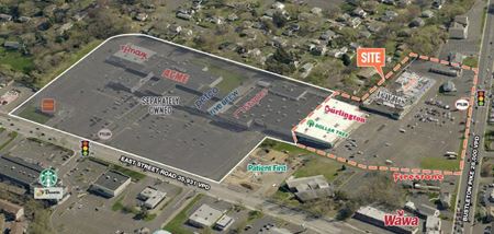 105 East Street Road, Woodland Estates, Feasterville-Trevose, PA
 -
 5 Hilton Drive, Trevose, PA
5 Hilton Drive
The Office WorksServices- Meeting Room
- Private Office
Amenities -
 4626 Somerton Road, Linconia-Concord Park, Feasterville Trevose, PAProperty
- Industrial
- 320,250 SF
Availability- 1 Space
- 320,250 SF
Year Built- 2025
For Lease Contact for pricing -
 3617 Horizon Blvd, Sherwood Estates - Trevose Heights, Feasterville Trevose, PAProperty
- Retail
- 7,974 SF
Availability- 2 Spaces
- 7,974 SF
Year Built- 2023
For Lease Contact for pricing -
 669 Clearview Avenue, Trevose, Feasterville-Trevose, PA
 -
 4151 E Street Road, Linconia-Concord Park, Bensalem, PA
 -
 4118 E Bristol Rd., Sherwood Estates - Trevose Heights, Oakford, PA
 -
 3198 Tremont Avenue, Sherwood Estates - Trevose Heights, Feasterville-Trevose, PAProperty
- VacantLand
- 718,425 SF
For Sale- Call For Info
-
 1806 Brownsville Road, Trevose, Feasterville-Trevose, PAProperty
- Retail
- 800 SF
Availability- 1 Space
- 800 SF
For Lease- $21.00/SF/YR
-
 4610 E Street Road, Sherwood Estates - Trevose Heights, Feasterville-Trevose, PA
 -
 1701 Loretta Avenue, Ridgeway Estates, Feasterville-Trevose, PAProperty
- Industrial
- 29,955 SF
Availability- 1 Space
- 14,260 SF
Year Built- 1973
For Lease Contact for pricing